
Upgrade to uktraffic.live PRO to turn off ads + unlock live traffic camera maps
North East (England) » South Tyneside – A1300 John Reid Road / Fire Station / Hospital21,790
21,790
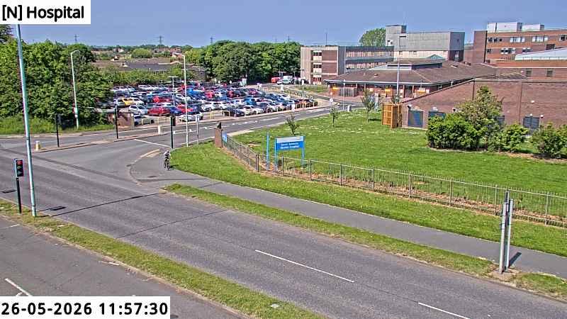
Image size: Default or Original | 1.5x | 2.0x | 2.5x | Maximum
Live camera images refresh every minute, refreshing in 60.
Tip: Click the above image for the full screen experience.
Layout: Wide | Full-width
Timelapse Video


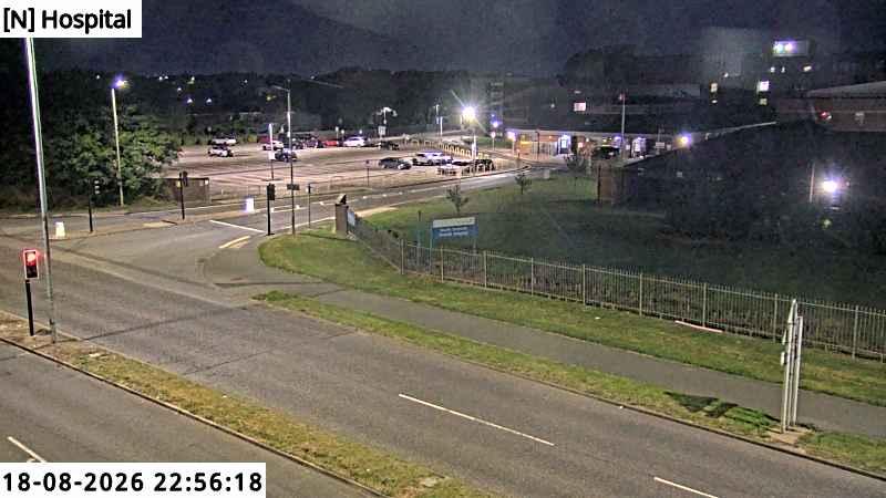
Recent Snapshots
Review recent footage from this live traffic camera.
Grid: 1 column | 2 columns | 3 columns | 4 columns | 5 columns | 6 columns
Last 24 Hours (8 snapshots)
About this live traffic camera
- Last updated:
1 hour ago - Status: Online
- Direction:
- Bearing:
- Current date/time: -
- Local timezone: -
- Local time offset: -
- Views: 21790
- Daily views: 41
Location
- Address:
- Suburb:
- Postcode:
- Lat/Long: 54.969424576203, -1.4264030978719
- GPS Coordinates: 54°58'9"N, 1°25'35"W
Camera provider
Traffic footage from this webcam is supplied by North East Urban Traffic Management and Control.
Nearby cameras (7)
The following live traffic cameras are located within 3km of this permanent live camera.
Grid: 1 column | 2 columns | 3 columns | 4 columns | 5 columns | 6 columns
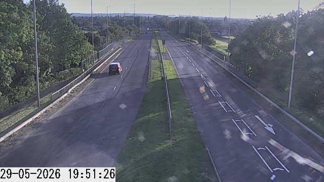
South Tyneside – A1300 John Reid Road / B1298 Boldon Lane & Whiteleas Way 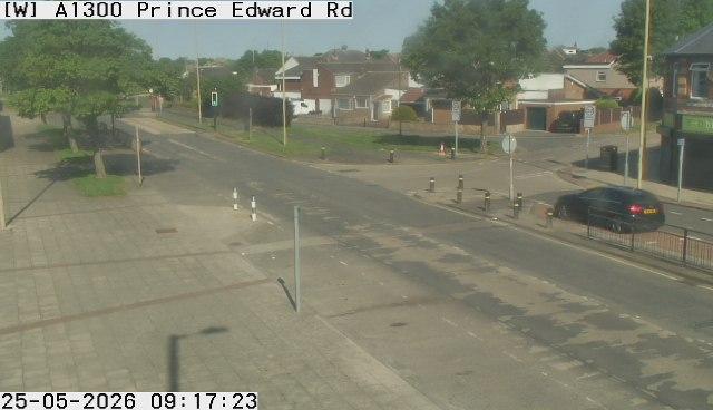
South Tyneside – A1300 Prince Edward Road / Lynwood Way 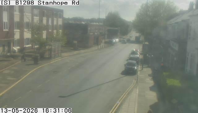
South Tyneside – B1298 Stanhope Road / Talbot Road 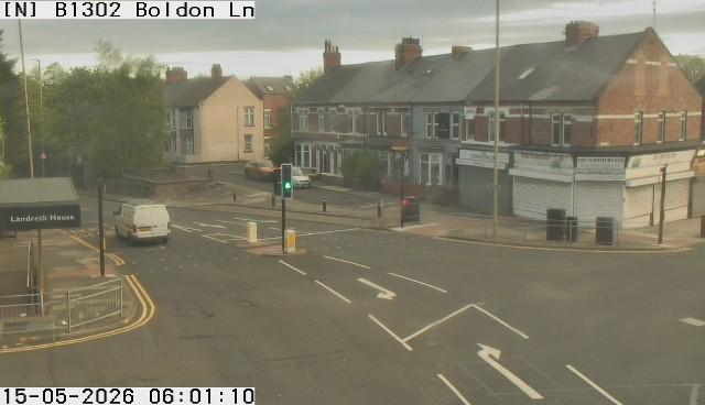
South Tyneside – B1298 Stanhope Road / B1302 Boldon Lane 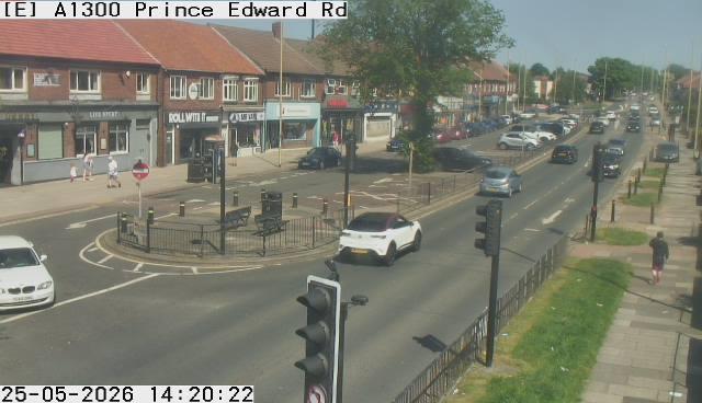
South Tyneside – A1300 Prince Edward Road / Gorse Avenue 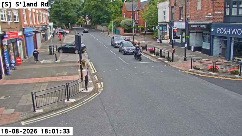
South Tyneside – Sunderland Road / Moor Lane & Moor Lane East 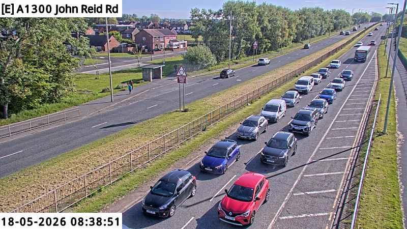
South Tyneside – A1300 John Reid Road / Chesterton Road
GIF
a1300-hospital.gif
There is no GIF to show, yet.